istp_plot
| Syntax | |||||||||||||||||||||||||||||||||||||||||||||||||||||||||||||||||||||||||||
|
istp_plot --help istp_plot [-cf cfname] [options] istp_plot -png [options] istp_plot -ps [-land] [-xp xoff] [-yp yoff] [options] istp_plot -ppm [options] istp_plot -ppmx [options] istp_plot -xml [options] istp_plot -x [-display display] [-xoff xoff] [-yoff yoff] [options] | |||||||||||||||||||||||||||||||||||||||||||||||||||||||||||||||||||||||||||
| Synopsis | |||||||||||||||||||||||||||||||||||||||||||||||||||||||||||||||||||||||||||
Plot ISTP data from CDF files. | |||||||||||||||||||||||||||||||||||||||||||||||||||||||||||||||||||||||||||
| Options | |||||||||||||||||||||||||||||||||||||||||||||||||||||||||||||||||||||||||||
| |||||||||||||||||||||||||||||||||||||||||||||||||||||||||||||||||||||||||||
| Description | |||||||||||||||||||||||||||||||||||||||||||||||||||||||||||||||||||||||||||
|
Plot ISTP magnetic field and solar wind data from a set of CDF files. The output can be to an X terminal, XML rplot file, Portable PixMap (PPM) file, extended Portable PixMap (PPMX) file, Portable Network Graphics (PNG), or PostScript file. The default output is XML. The output file is written to standard output. The program usually plots 24 hours of magnetic field data in GSM co-ordinates for a given start date and satellite. Magnetic field and solar wind data can be plotted together by combining the appropriate options. The data files are taken from the sub-directories " | |||||||||||||||||||||||||||||||||||||||||||||||||||||||||||||||||||||||||||
| Examples | |||||||||||||||||||||||||||||||||||||||||||||||||||||||||||||||||||||||||||
Plot 24 hours of ACE data starting at 00:00UT on April, 6 1999 on the X terminal.
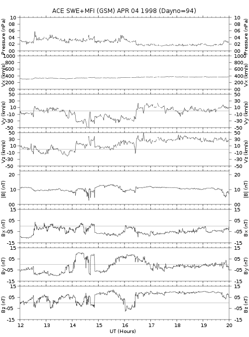
Generate a PostScript plot of Ace MFI and SWE data for the 8 hour period starting at 12:00UT on April 4, 1998. The plot is stored in the file " 
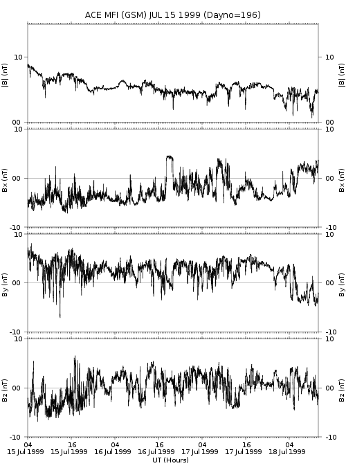
Generate an XML rPlot file of Ace MFI for the period starting at 04:00UT on July 15, 1999, and ending at 12:00UT July 18,1999. The plot is stored in the file "  |